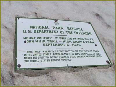
 Mt Whitney, the tallest mountain in the lower 48 states, rises like the phoenix from the western rim of the Great Basin Desert of California. At an elevation of 14, 495 feet, Whitney looms high above Death Valley, the lowest point in North America at 262 feet below sea level, less than 100 miles to the east.
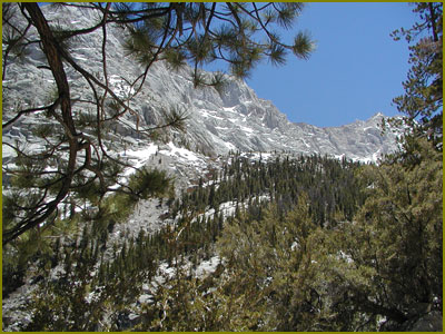
 Mt Whitney Trail
 Mt Whitney Trail
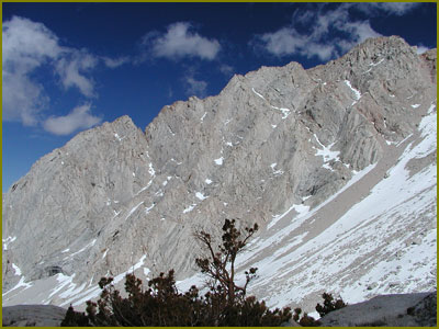
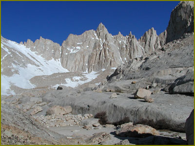
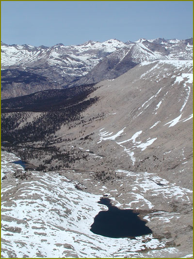
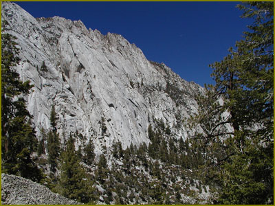
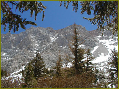
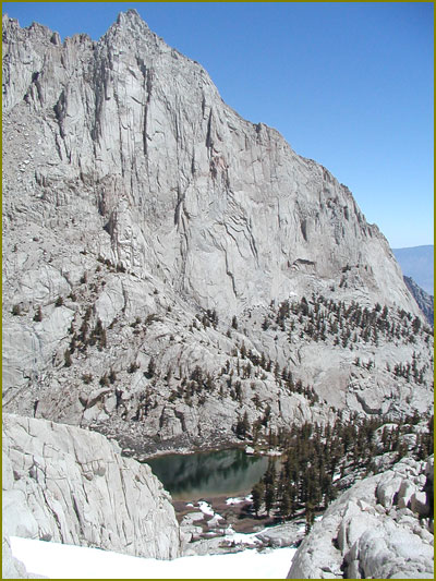
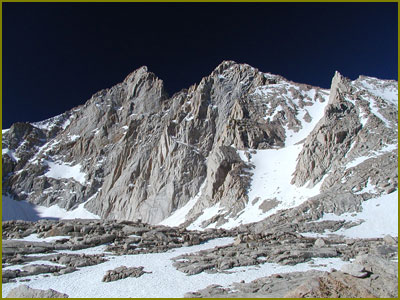
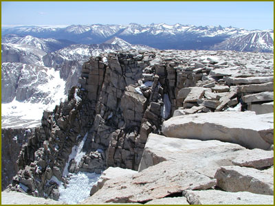
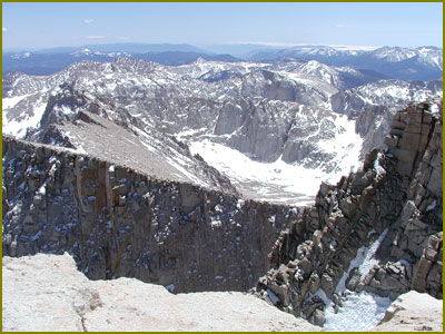
The wall above Consultation Lake.
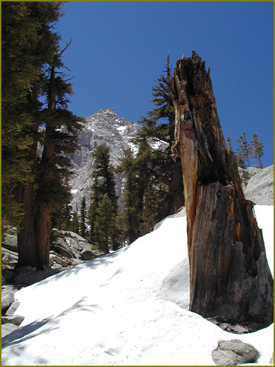
 Mt Whitney
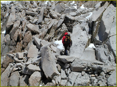
From just above Base Camp (elevation 3700 m, 10 km from Whitney Portal), the ridge is spectacularly jagged, with the Needles to the south (left) of Mt. Whitney. Whitney iteslf is the prominent hump in the right quarter of the shot above, with a gradual slope up from the left and a sheer drop on its right before the jagged ridge continues farther north.
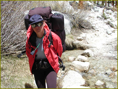
 Mt Whitney is the most frequently climbed peak in the Sierra Nevadas, and perhaps the entire U.S. The summit can be most directly reached via a 10.7-mile trail from Whitney Portal, 13 miles west of of Lone Pine.
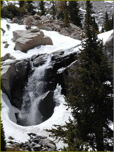
 Mt Whitney
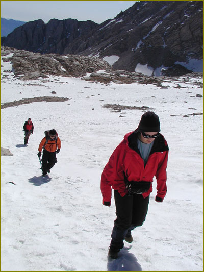
The infamous "98 Switchbacks" (there are actually more than 140) section of the trail, where you climb from just over 12,000' to 13,700' via a brutal set of switchbacks. Since the switchbacks were covered in snow we had to go straight up. Luckily there was no ice, so we did not have to carry the crampons. One ice axe per person was enough to make it safely to the crest.
 Mt Whitney
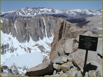
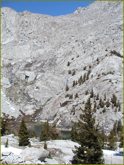
Sequoia National Park as seen from Mt Whitney Trail. Right bellow there is Hitchcock Lake.
 Mt Whitney
Trail Crest (13.5 kms from Whitney Portal, elevation 4,145 m.).
 Mt Whitney
Trail Crest
 Mt Whitney
At the Crest you crossover to the other side, with incredible views of the Sequoia Park wilderness.
 Mt Whitney
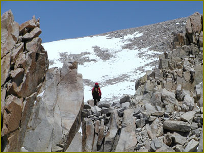
The first view of the summit.
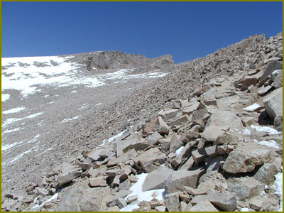
When you get to the base of the peak, you still have to climb some steep switchbacks. Due to altitude, most people take a long time to complete these last 500m.
 Mt Whitney
The last 500 meters before the summit.
 Mt Whitney
Guitar Lake
 Mt Whitney
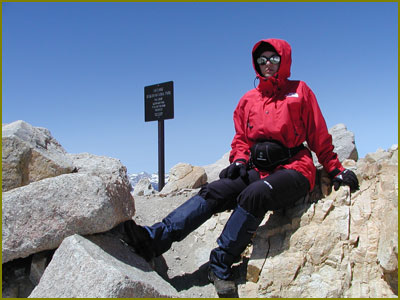
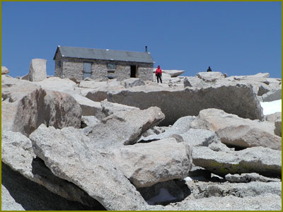
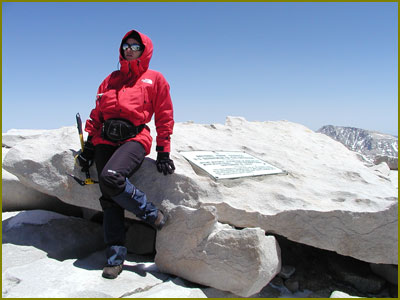
The summit.
 Mt Whitney
The summit.
 Mt Whitney
The summit.
 Mt Whitney
The trail before the Outpost Camp (10,360 feet).
 Mt Whitney
The trail before the Outpost Camp (10,360 feet).
 Mt Whitney
The trail before the Outpost Camp (10,360 feet).
 Mt Whitney
Outpost Camp (10,360 feet).
 Mt Whitney
The trail above Mirror Lake.
 Mt Whitney
The trail before Lone Pine Lake (10,360 feet).
 Mt Whitney
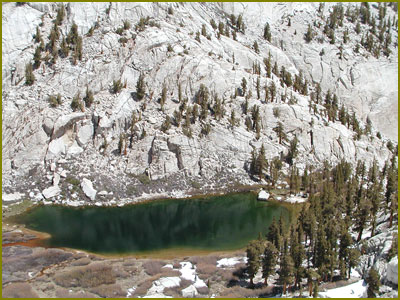
Mirror Lake, 7 kms from the Whitney Portal, elevation 3200 m (10,640 feet) .
 Mt Whitney
The trail between Outpost Camp and Lone Pine Lake.
 Mt Whitney
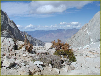
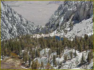
Looking east over Lone Pine Lake to the Great Basin Desert in the background from an elevation of about 10,000 feet.
 Mt Whitney
Mirror Lake (10,640 feet)
 Mt Whitney
Mirror Lake (10,640 feet)
 Mt Whitney
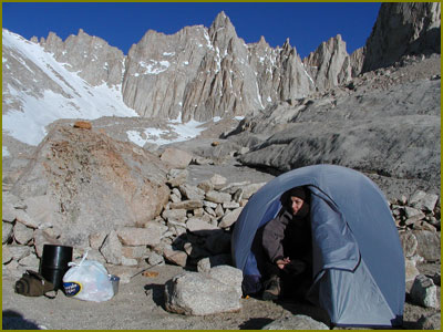
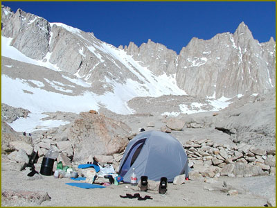
Trail Camp, a good place to rest before the grueling 96 switchbacks to Trail Crest. 6.3 miles from trailhead, elevation 12,039 feet.
 Mt Whitney
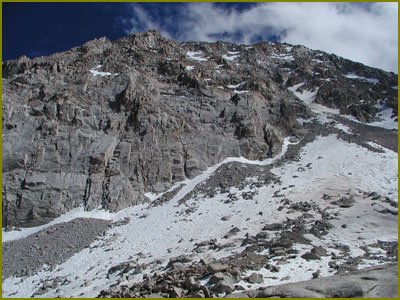
Looking South from Trail Camp.
 Mt Whitney
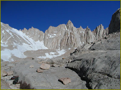
The summit as seen from Trail Camp.
 Mt Whitney
Trail Crest.
 Mt Whitney
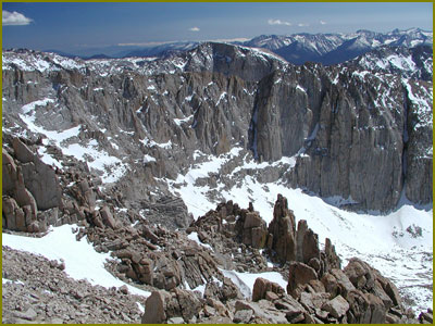
Peeping between the Needles.
 Mt Whitney
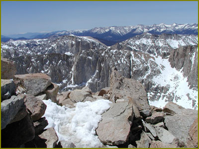
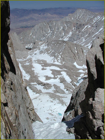
View from the summit.
11.0 miles, no water, camping permitted, elevation 14, 495 feet.
 Mt Whitney
View from the summit.
11.0 miles, no water, camping permitted, elevation 14, 495 feet.